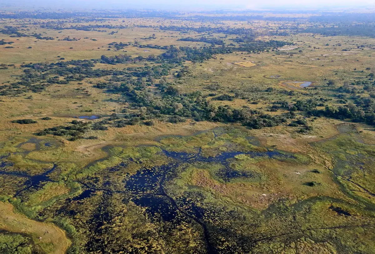
Nkasa Rupara was previously known as Mamili National Park and is situated south of Mudumu. This unique wetland nestles in the curve that the Kwando River makes, where it changes direction, looping northwards and eastwards. This intricate water system creates the Linyanti Swamp, which in turn drains into the Chobe River. The northern section of the park is known as Dry Rupara Grassland, while the south is Wet Rupara Grassland.
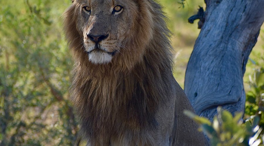
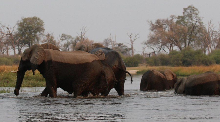
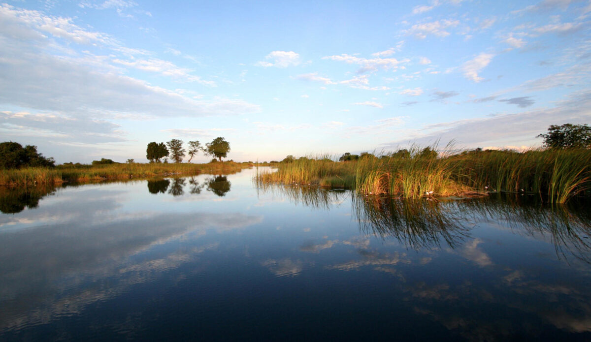
This is Namibia largest wetland with conservation status and when the river is in flood, up to 80% of Nkasa Rupara can be submerged. The area is riddled with reed beds, papyrus swamps and twisting channels and dotted with lakes and large dry islands. It is a haven for birds and other animal species.
Nkasa Rupara Park is a remote and little visited place. The terrain is extremely varied, and it is definitely 4x4 country where special caution must be taken to avoid becoming stuck. Two vehicles travelling together are recommended. To reach Nkasa Rupara you will travel through the small village of Sangwali. There are no shops or fuel stations in the park so be sure to be self-sufficient.
There are a few lodges and campsites in and around the park. If you would like to visit this area please contact Temba Travel and we would be pleased to assist you.